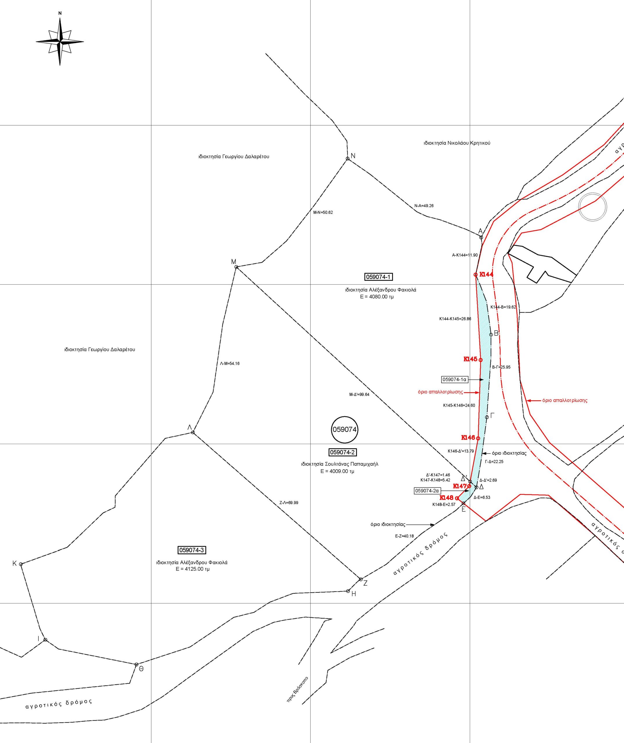
Topographic map of the three plots
Note: There was a plan from the Government (Periphery) to expropriate the blue zone on the map in order to widen the road. In view of that, and since there was enough space to split among the three plots, there was a small (<2%) internal reallocation so that each plot remains above 4,000 sqm after the expropriation. As far as I know, the expropriation plan was abandoned, at least in this location, because the road was considered wide enough. Anyway, should the expropriation ever take place, each plot will remain with a size above 4,000 sqm (although the plots would enjoy special status of exemption to the min 4,000 sqm law). Better safe than sorry!

